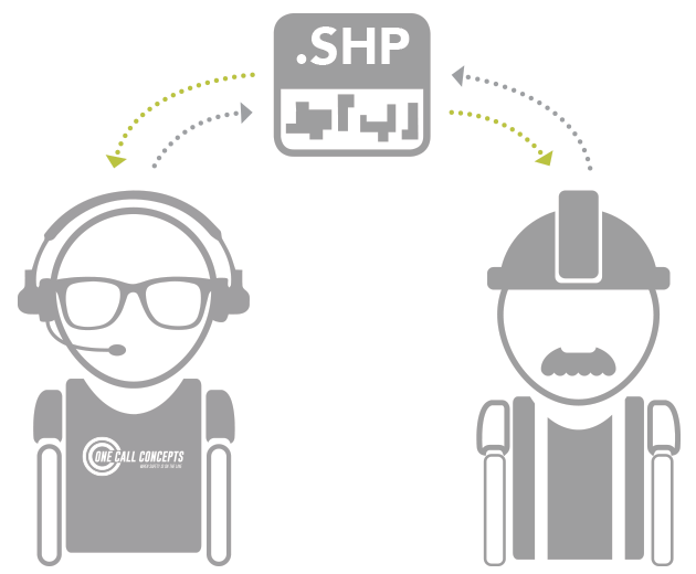
Shape files (“.shp”) are a type of file format commonly used by GIS systems to communicate geographic information. OCC supports the use of Shape files for updating and maintaining utility notification databases. The use of shape files not only facilitates communication between facility operators and their notification centers, but also expands OCC’s ability to create solutions to meet customer needs.
Shape files allow for:
- Creation of notification area files in your own system – no need to reinvent the wheel
- Streamlining of communications between facility operators and notification centers, saving time and money
- Exporting updated Shape files for accurate record keeping
